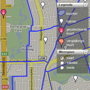
Statistics Netherlands uses Google maps for local numbers
 Statistics Netherlands (CBS, Centraal Bureau voor Statistiek), the government agency for statistical research, has launched a website called CBS in uw buurt (CBS in your neighbourhood) that is exactly that: it shows detailed statistical information about your neighbourhood. The data are shown superimposed over a Google map, and the site lets you compare the data of your neighbourhood with that of others. The types of statistical data available are pretty limited: things like income, housing, and demographics.
Webwereld reports (Dutch) that housing site Funda has been providing a similar service for a while now, but doesn’t operate at the neighbourhood level.
Via Dagelinks (Dutch).

Leave a Reply