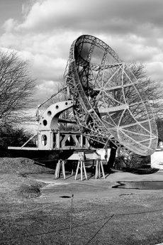
Dutch company MetaSensing has developed a way of taking images using two satellites in tandem to view the Earth’s surface from slightly different angles. Rather than using radar satellites with single instruments, their novel way apparently offers a unique 3D view of the landscape. This airborne experiment using radar satellites orbiting in tandem was carried out for the first time above the flat landscpe of the Netherlands.
The process involved two aircraft flying in very close proximity to each carrying a radar instrument, something that will be replicated in Belgium next month. “While flying two aircraft sounds relatively straightforward, in practice it is a technical tour-de-force calling for well-trained pilots with strong nerves to fly with very little space between each plane”. Christian Barbier of the Centre Spatial de Liège in Belgium explained that by using this tandem method, they could map the movement of glaciers in 3D, improve crop mapping and even create 3D maps of the world’s forests.
(Link: phys.org, Photo of Radar by Pete Favelle, some rights reserved)
